Map of the Siege of Yorktown


-
Not on View
-
This map celebrates the triumph of the allied Continental and French forces over the British Army at the Siege of Yorktown in 1781. German-born Continental Artillery officer Sebastian Bauman served at the siege and created this map from his surveys of the battlefield taken three days after the British Army’s surrender. The yellow rectangles plot the positions of the French troops, while the blue rectangles show the positions of the Continental Army during siege. Bauman included the location of General Washington’s headquarters just above the text describing the map. Engraved and published in Philadelphia in 1782, Bauman distributed copies of this map to fellow army officers to show off his skills and celebrate the victory.
Item Details
-
Map of the Siege of Yorktown
Drawn by Sebastian Bauman; Engraved by Robert Scot
Philadelphia, Pennsylvania
1782
Paper, Ink
Museum of the American Revolution, Gift of the Landenberger Family Foundation (founded by Bill Landenberger) and The Acorn Foundation Fund for History in Memory of Alexander Orr Vietor (David B. Vietor, Richard R. Vietor, Louise V. Oliver, Pauline V. Sheehan, Alexander W. Vietor, and Martha V. Glass, trustees)
2019.08.01
Related Collections
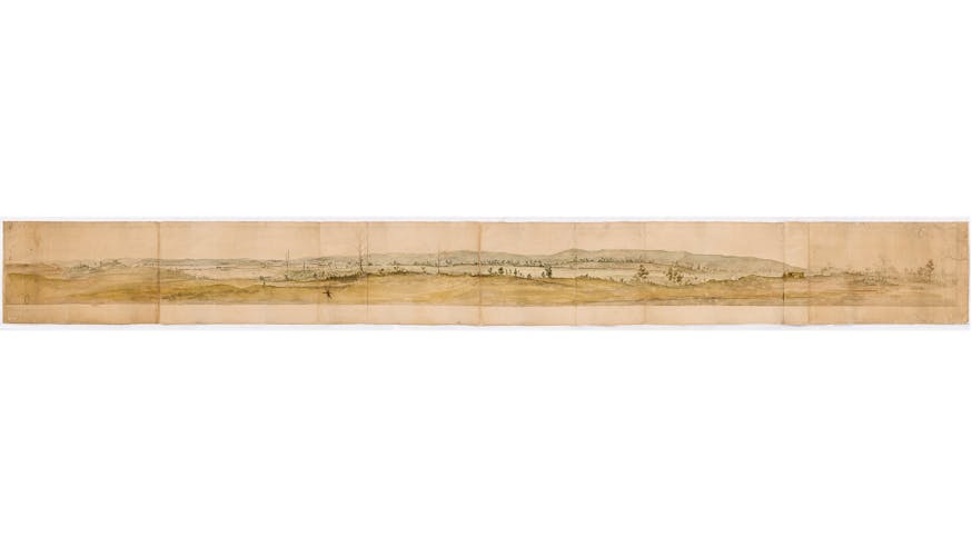
Panoramic View of Verplanck’s Point
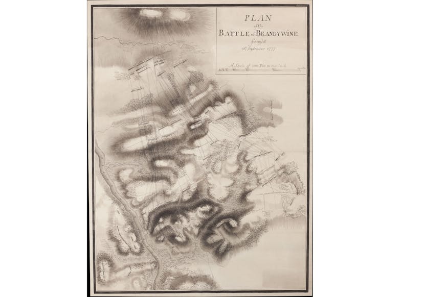
Plan of the Battle of Brandywine