Plan of the Battle of Brandywine


-
Not on View
-
This detailed plan shows British, Hessian, and American troop positions and movements during the Battle of Brandywine, September 11, 1777. The long battle ended with Washington’s army withdrawing east towards Chester, Pennsylvania. The exhausted British Army encamped at Dilworth (visible at the right-center of this plan) and neighboring areas until September 15, when they resumed pursuit of Washington’s forces before capturing Philadelphia on September 26. During the four-day encampment on the battlefield, British engineers surveyed the area and recorded details of the engagement in a series of plans, including this example.
Object Details
-
Plan of the Battle of Brandywine
North America or Great Britain
ca. 1777
Paper, Ink
Museum of the American Revolution
2003.00.1293
Related Collections
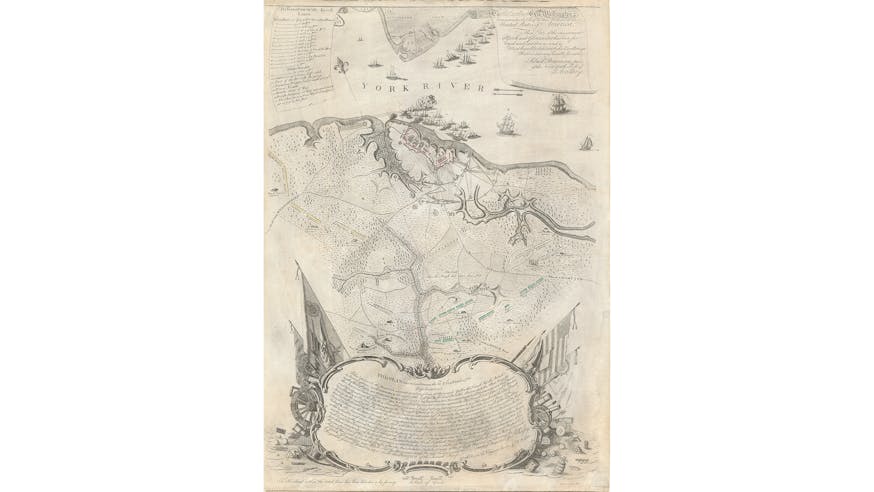
Map of the Siege of Yorktown
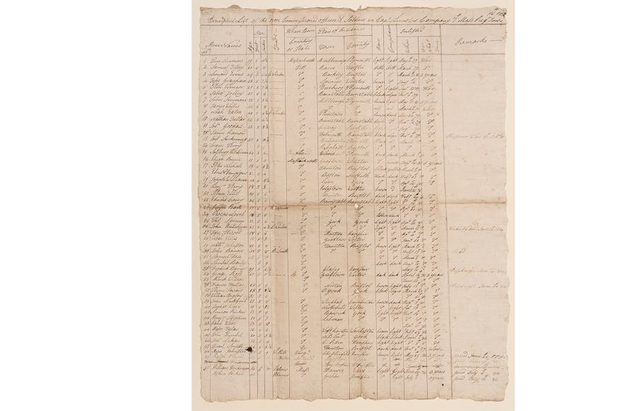
Continental Army Descriptive List