
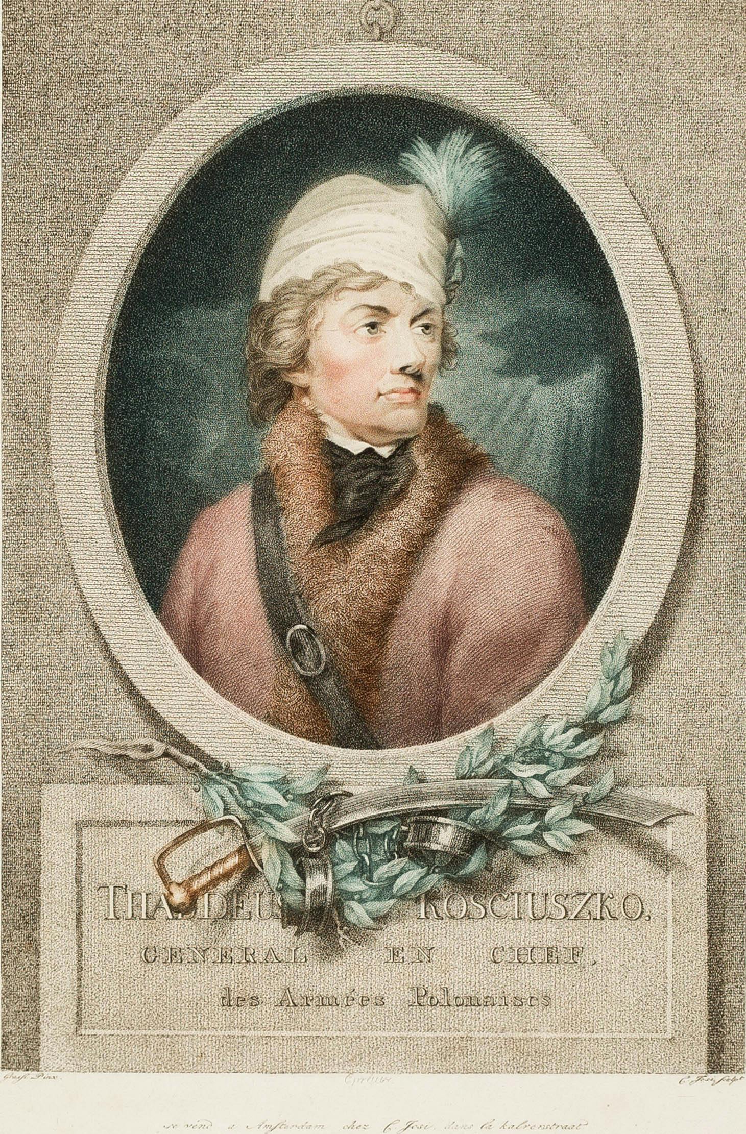
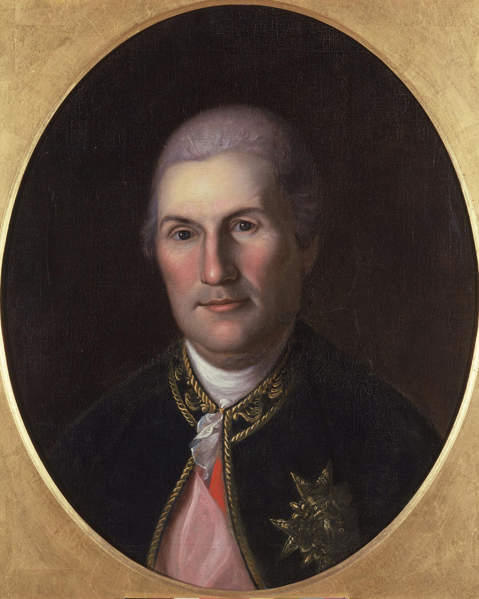
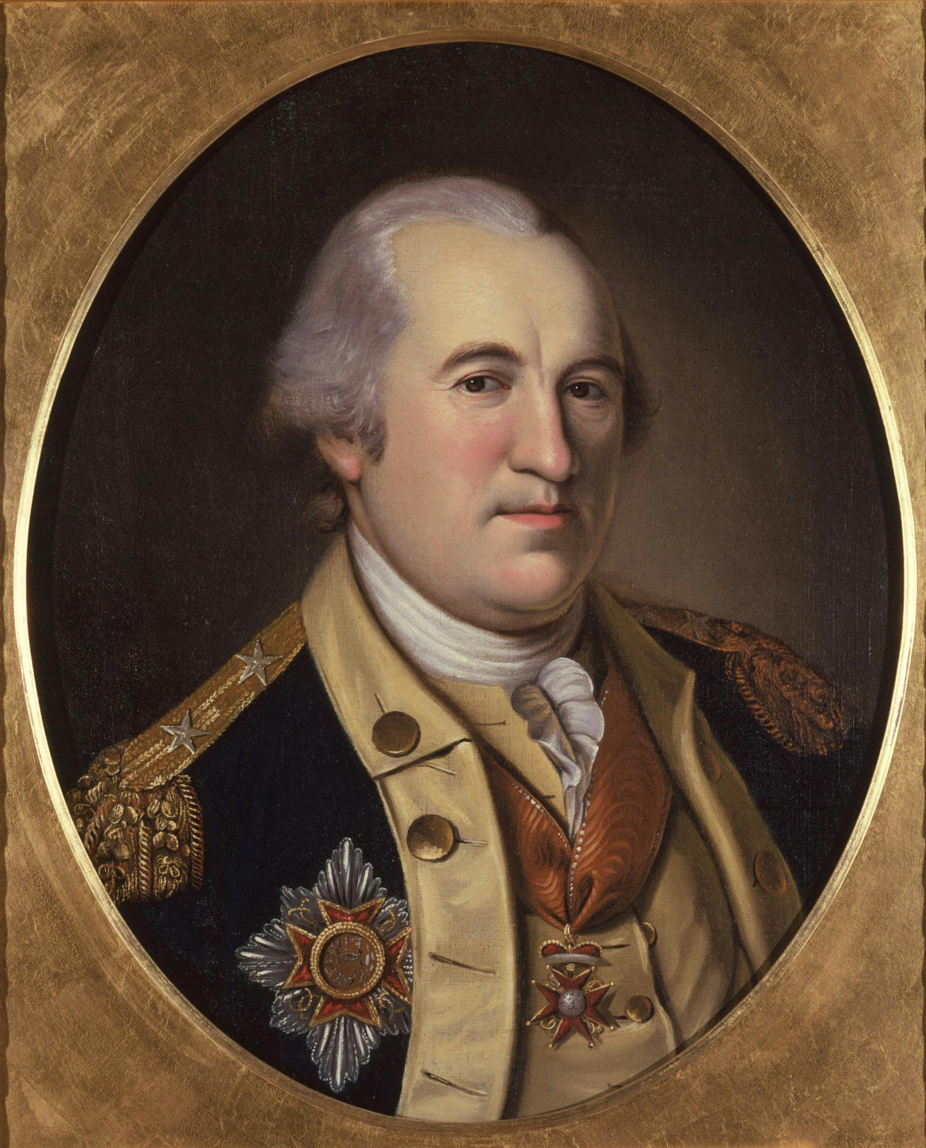
Continental Army Along the Hudson


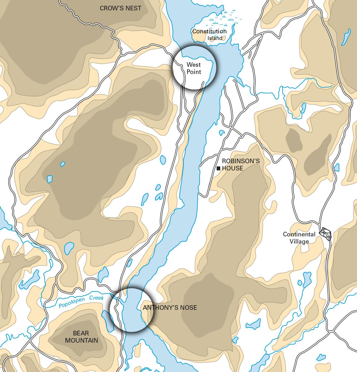
George Washington called the Hudson River the “Key of America.” With the Mohawk River to the West and Lake George and Lake Champlain to the North, the Hudson was part of a system of waterways that reached from the Great Lakes, to Canada, and down to New York City. During the Revolutionary War, Americans clustered their Hudson River fortifications around three narrows– West Point in the North, the Popolopen Creek in the middle, and King’s Ferry to the South. These posts were between 45 and 60 miles from New York City. In 1781, French troops and a portion of the Continental Army crossed the Hudson River at King’s Ferry on their way to Yorktown, Virginia, a crossing that is now recognized as part of the Washington-Rochambeau Revolutionary Route National Historic Trail. By the summer of 1782, the American Army had secured its control of this region. Along the 15-mile stretch of the Hudson River, Washington maintained a force of over 11,000 soldiers. At the same time, 13,000 British troops occupied New York City. West Point was the Continental Army’s strongest fortification. Verplanck’s Point and Stony Point, on either side of King’s Ferry, were the front line against the British to the south.
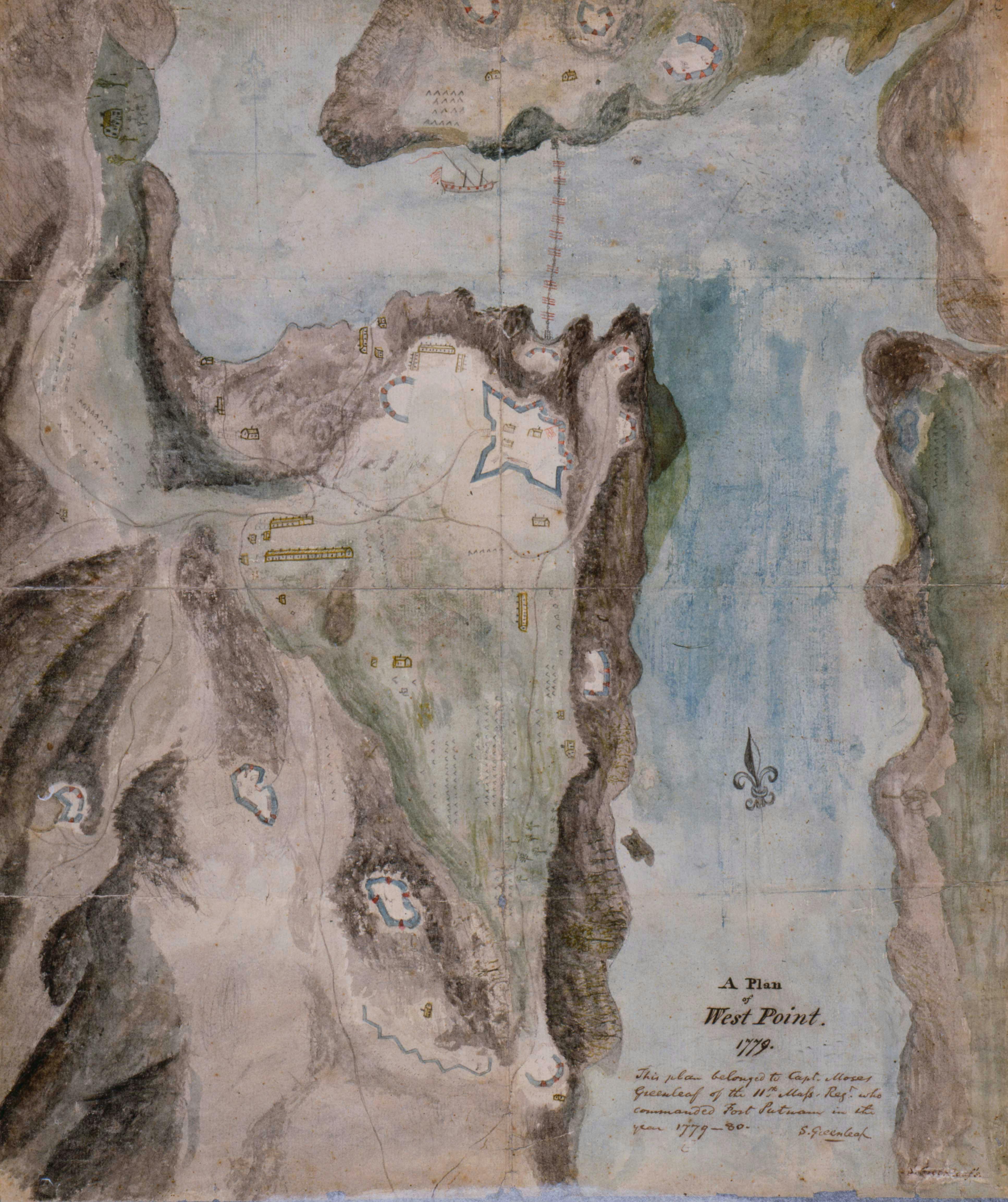
West Point
In the summer of 1782, Pierre Charles L’Enfant painted West Point, the administrative and strategic center of the Continental Army. Since the spring of 1778, West Point had become the army’s largest post. During that summer, New England troops dug entrenchments on the surrounding hills and built fortifications on Constitution Island, across the river.
Image Credit: Geography and Maps Division, Library of Congress, Washington, DC
The Flotilla from West Point to Verplanck’s Point
On August 31, 1782, Washington moved approximately 8,000 of his men down the Hudson by boat, from West Point to Verplanck’s Point, 15 miles farther south and closer to the British headquarters in New York City. Washington moved the Army to Verplanck’s Point for three reasons. First, it was a good place for the troops to gather firewood for the coming winter. Second, it was along the route that Rochambeau’s French Army planned to take in September as it marched from Virginia to Boston to prepare for a voyage to the West Indies. This made it a good location for planning the next campaign with their French allies. Finally, the flotilla from West Point to Verplanck’s Point helped Washington think through a possible amphibious attack on British-controlled New York City. Washington wanted, he wrote, to see how long “a large number of men could embark, debark, and move a great distance by water.”
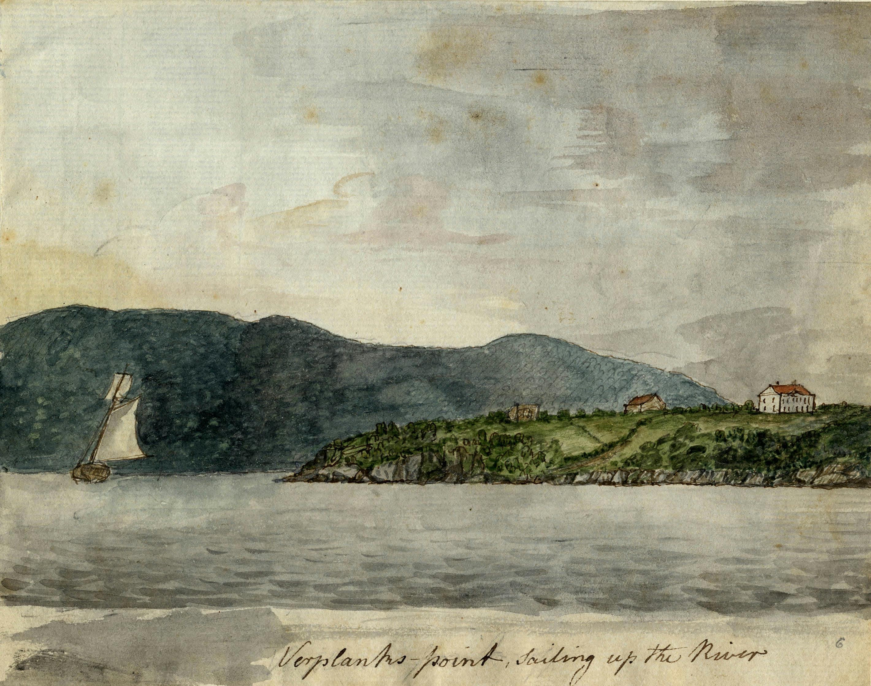
We came down the River in Flat Boats, forming one of the most agreeable views in the World.”
Lt. Col. David Cobb, Aide-de-Camp to General Washington, Verplanck’s Point, New York, September 4, 1782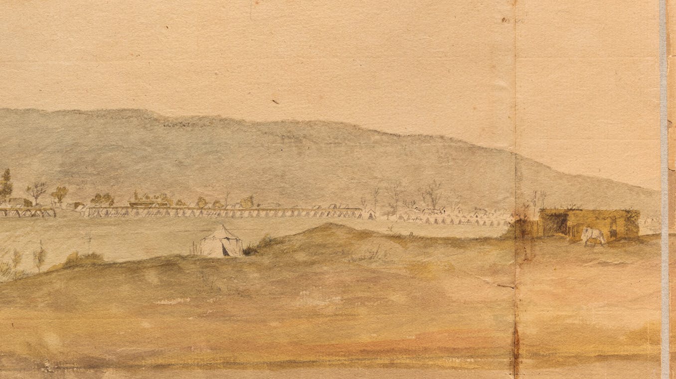
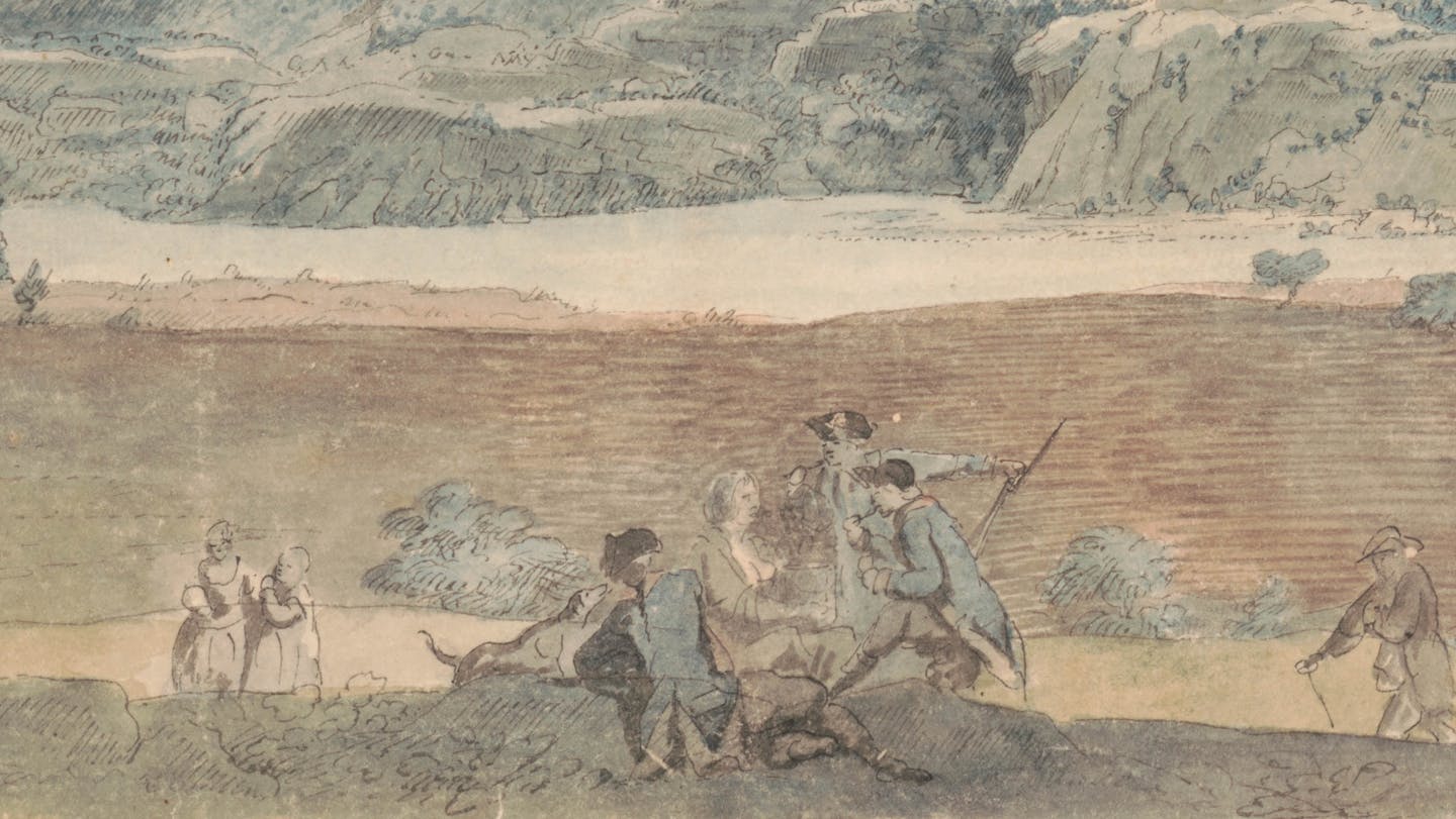
Encampment at Verplanck’s Point
L’Enfant’s watercolor of the encampment at Verplanck’s Point depicts the Continental Army at its professional best. Wooden bowers, or shades made of tree branches, decorated the long line of soldier’s tents. Washington’s marquee tent stood on a hill where it “towered, predominant” over the camp, as one eyewitness put it.
For a month, the Continental troops at Verplanck’s Point gathered firewood for the coming winter and drilled for the next campaign. On September 22, the Continental Army demonstrated their fighting readiness for French forces marching from Virginia through the Hudson Highlands. One astonished French officer admired the transformation of an army that had “formerly had no other uniform than a cap, on which was written Liberty.”
Image Credit: Museum of the American Revolution; Gift of the Landenberger Family Foundation
We have here a fine encampment which will furnish the public with a curious map someday or other.”
Sergeant Thomas Foster, 7th Massachusetts Regiment, Verplanck’s Point, New York, September 16, 1782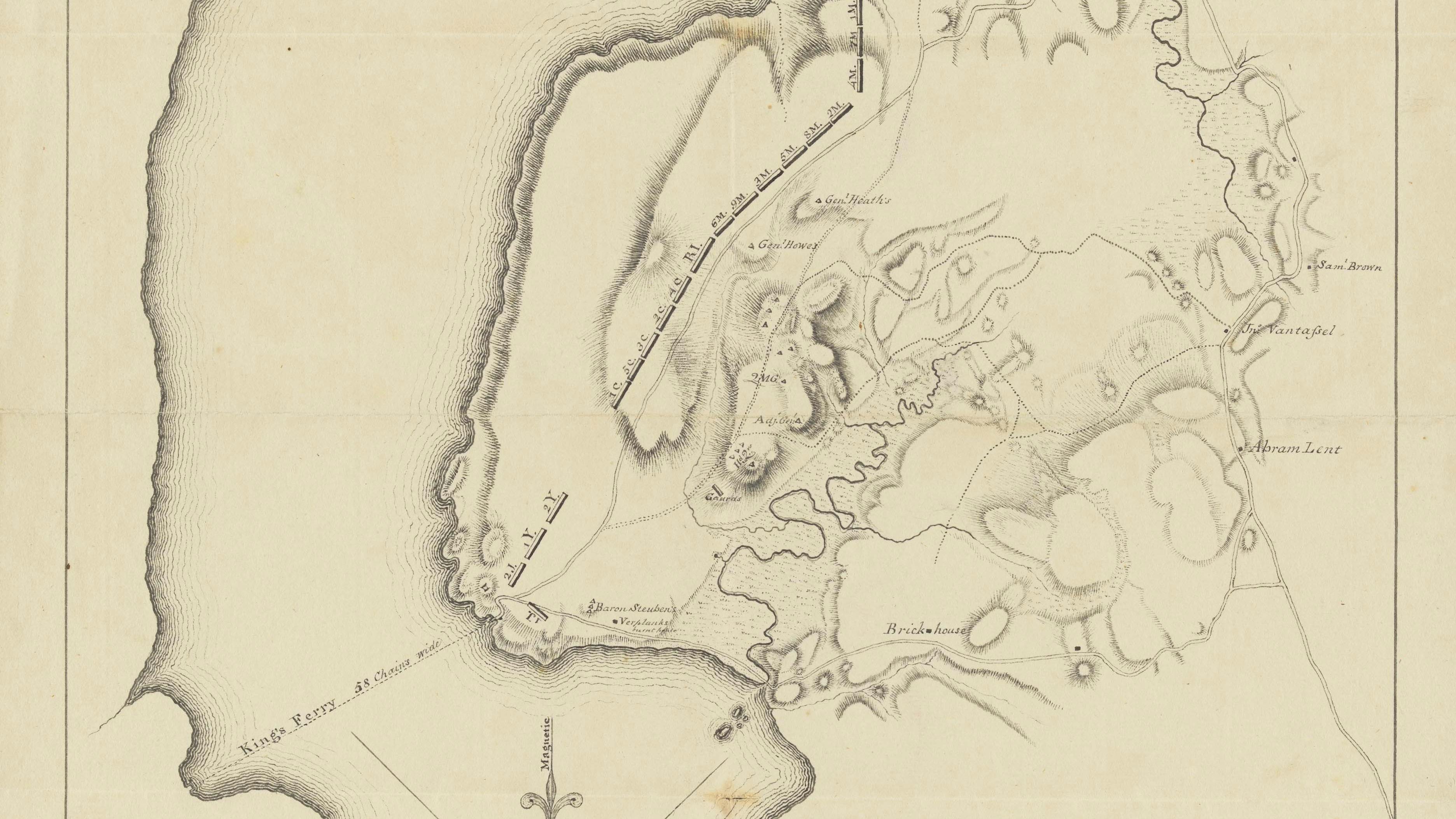
…we have now a better army in the field than ever before. The Troops are exceedingly well clothed and their discipline nearly perfect.”
Benjamin Lincoln, Secretary of War, September 25, 1782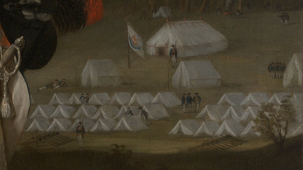
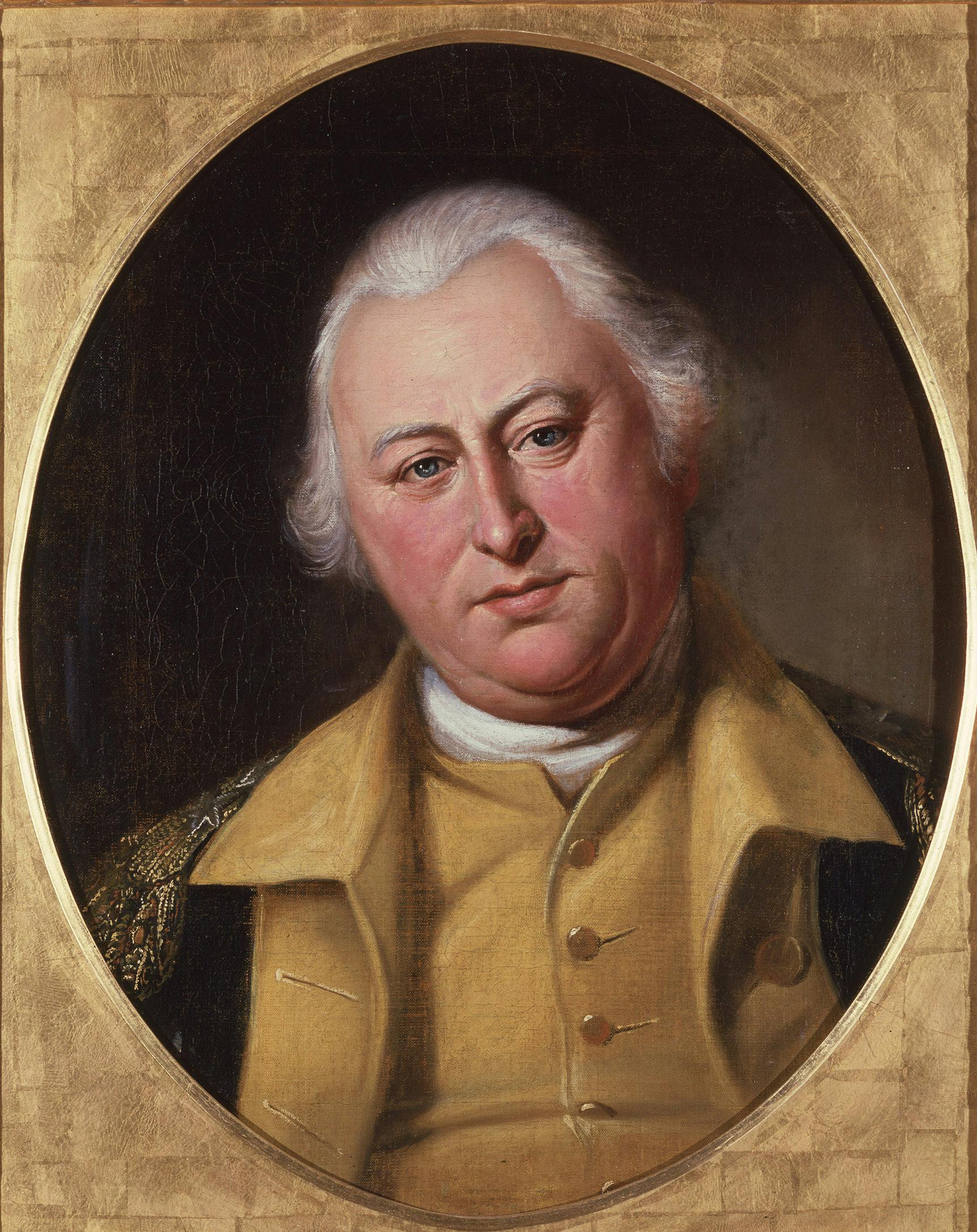
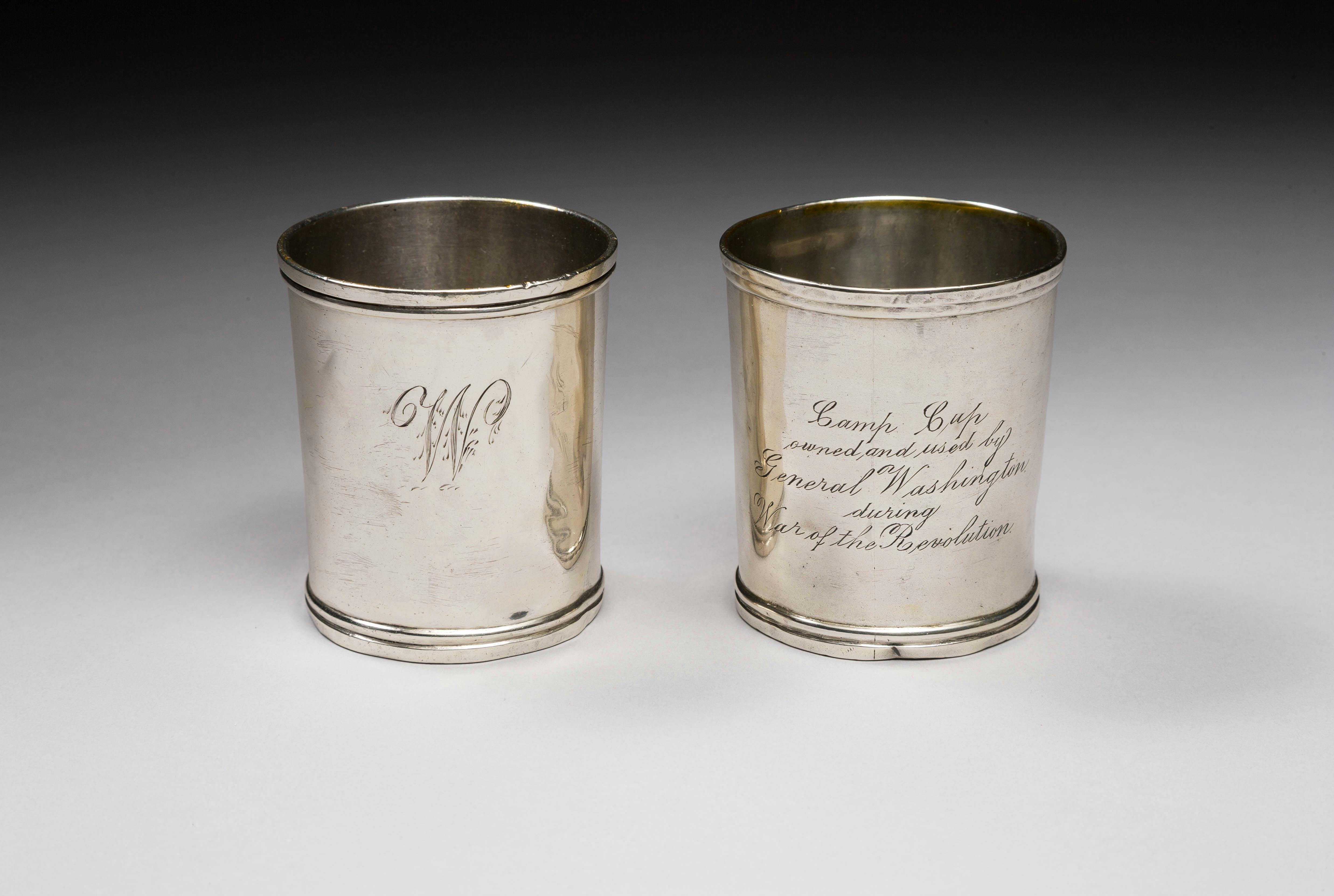
Camp Life
The Continental Army camp at Verplanck’s Point was an orderly one. From Washington’s hospitality over dinner, to the regularity of forms documenting the army, every detail was thought out and managed. This professionalism caused one Massachusetts lieutenant to fret about all the paperwork he had to do, writing that his “paper, pens, ink, rule, and plummset, are paraded” as he prepared returns for the “pay master with a face as long as my arm.”
Image Credit: Yale University Art Gallery
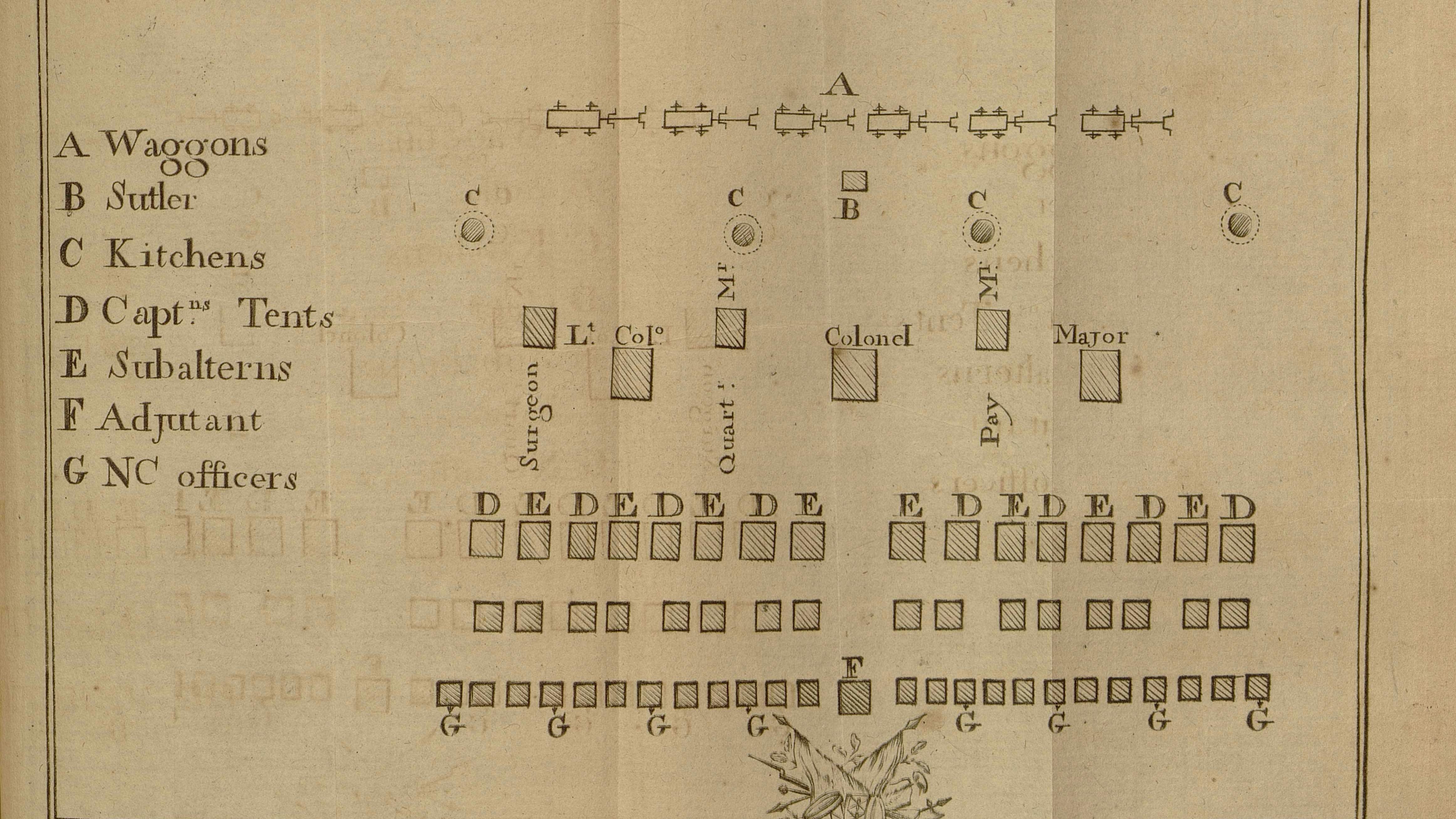
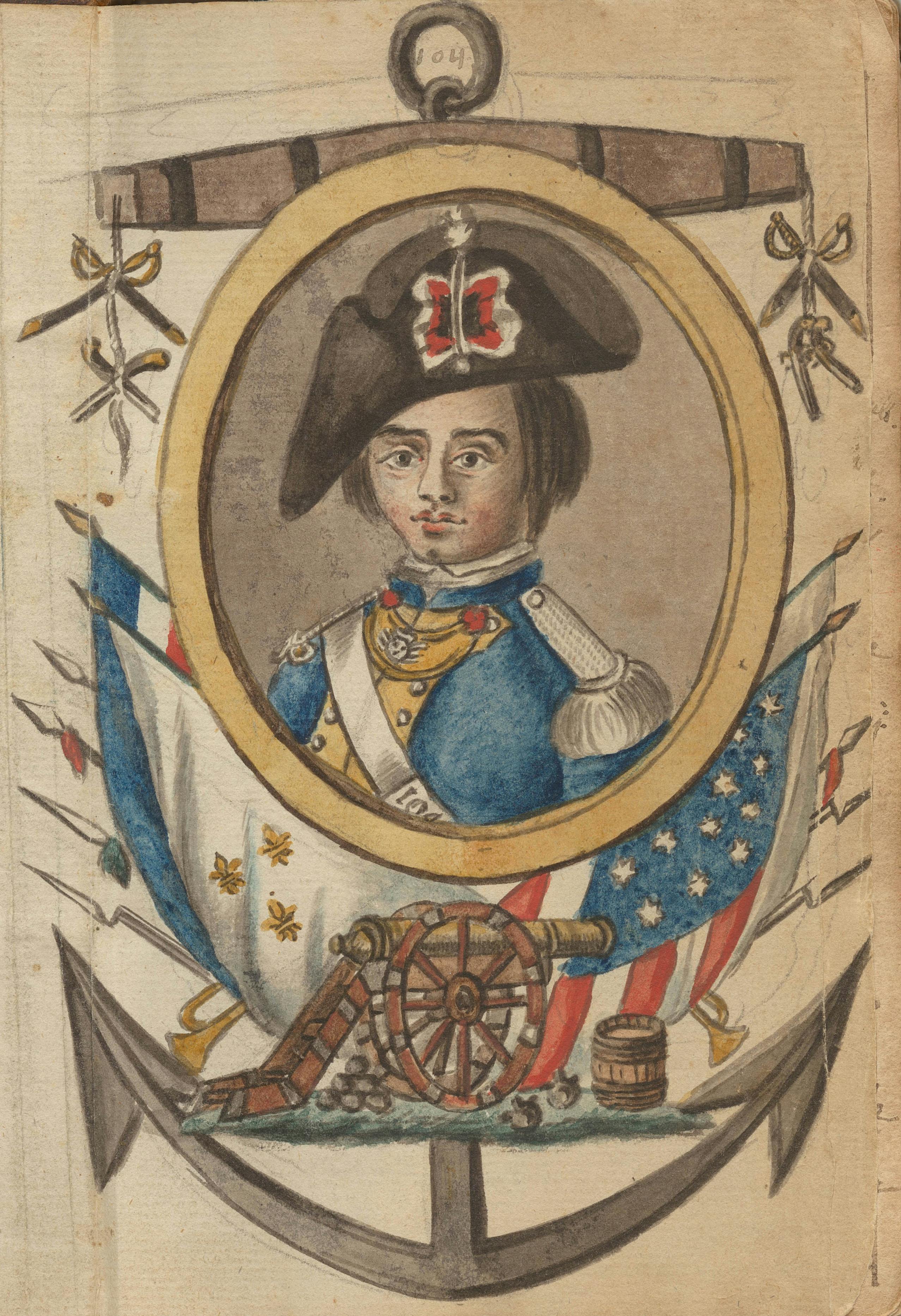
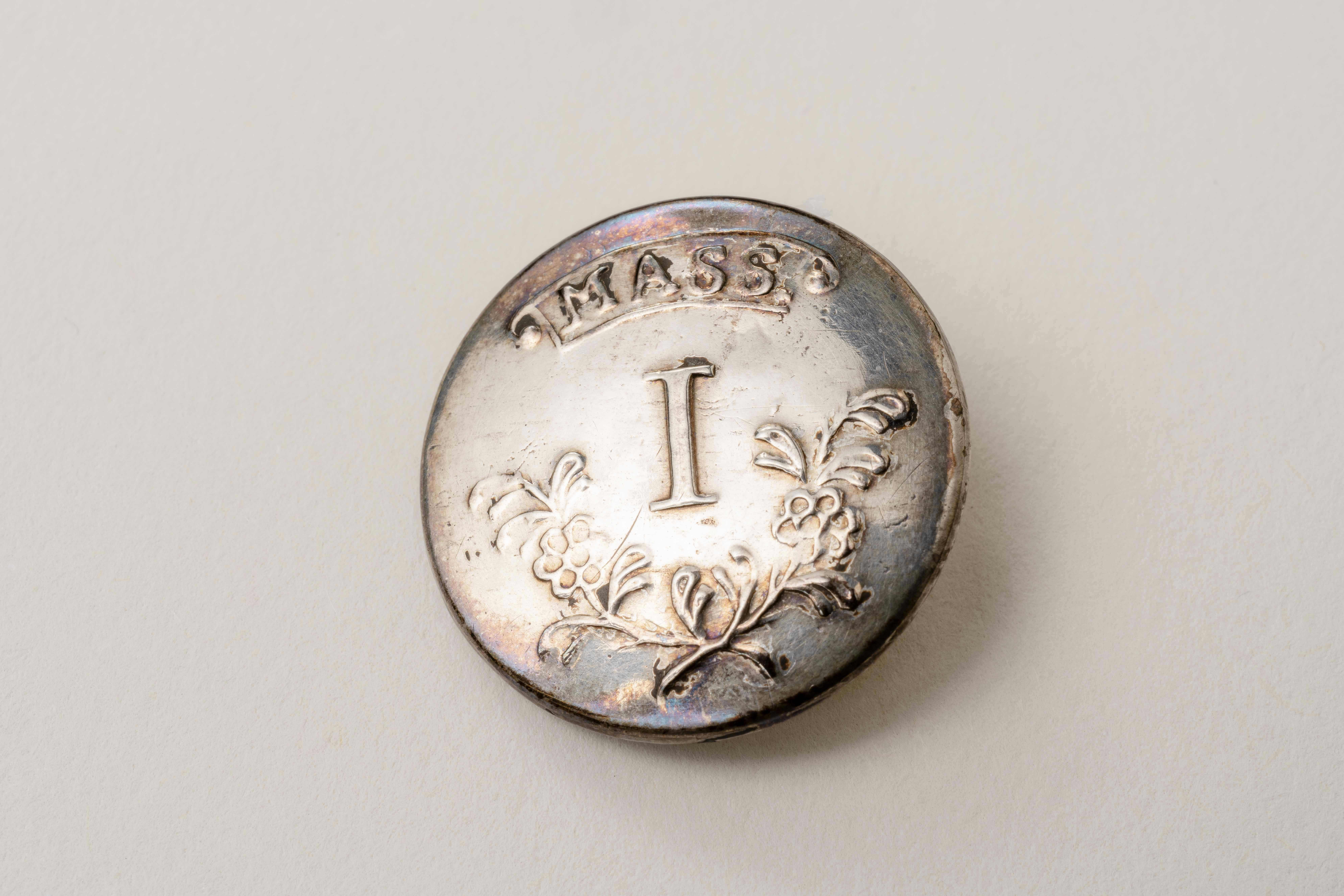
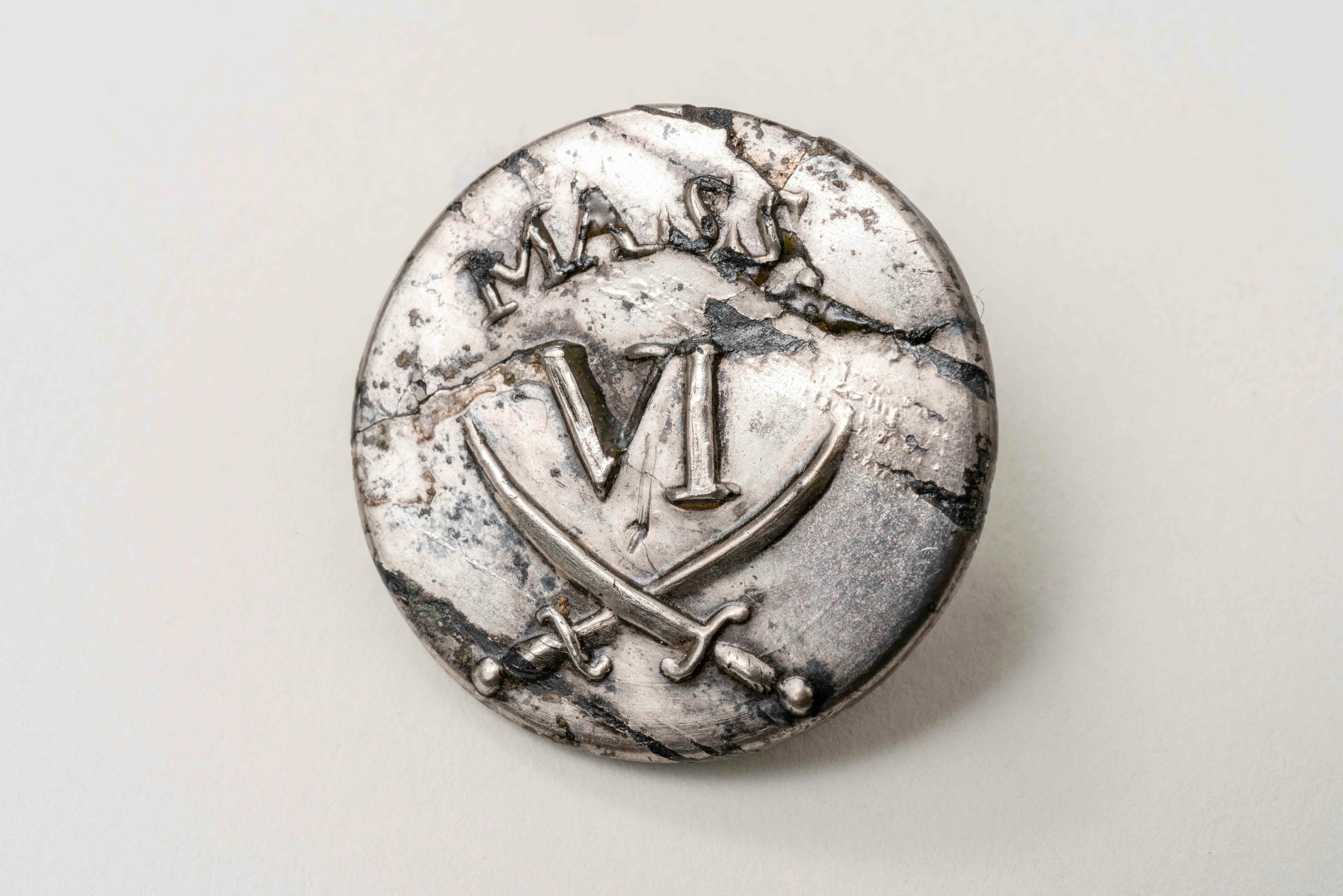
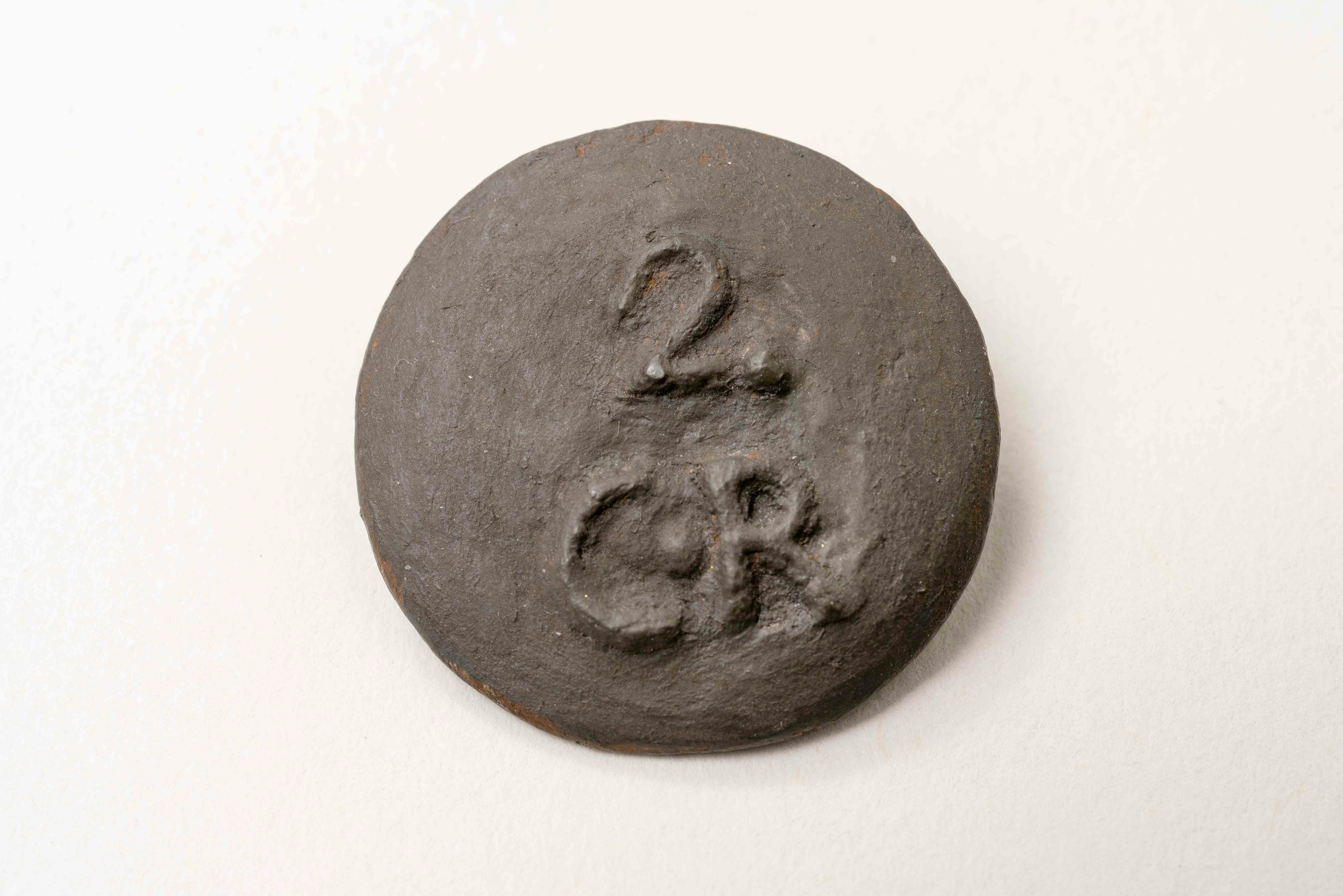
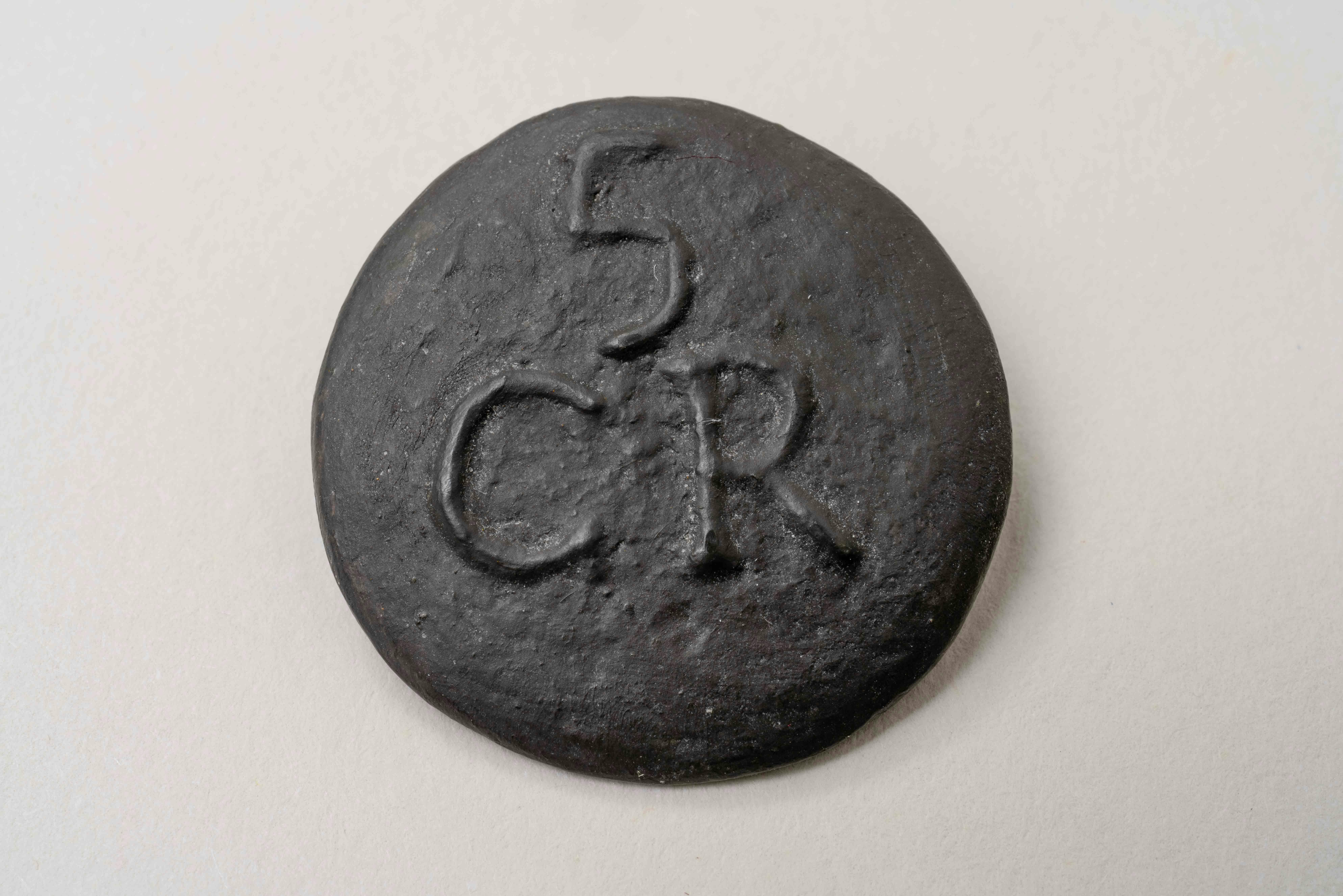
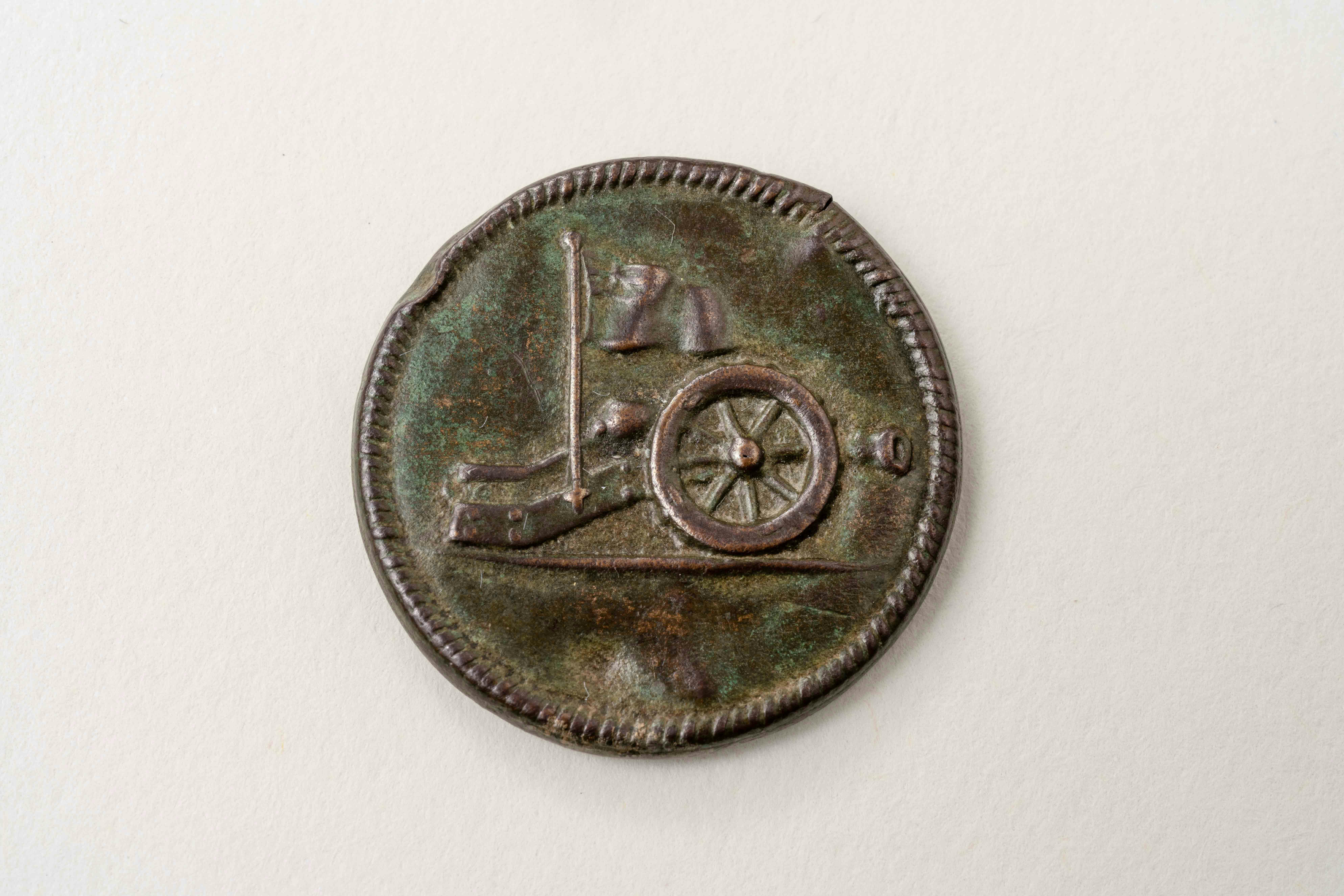
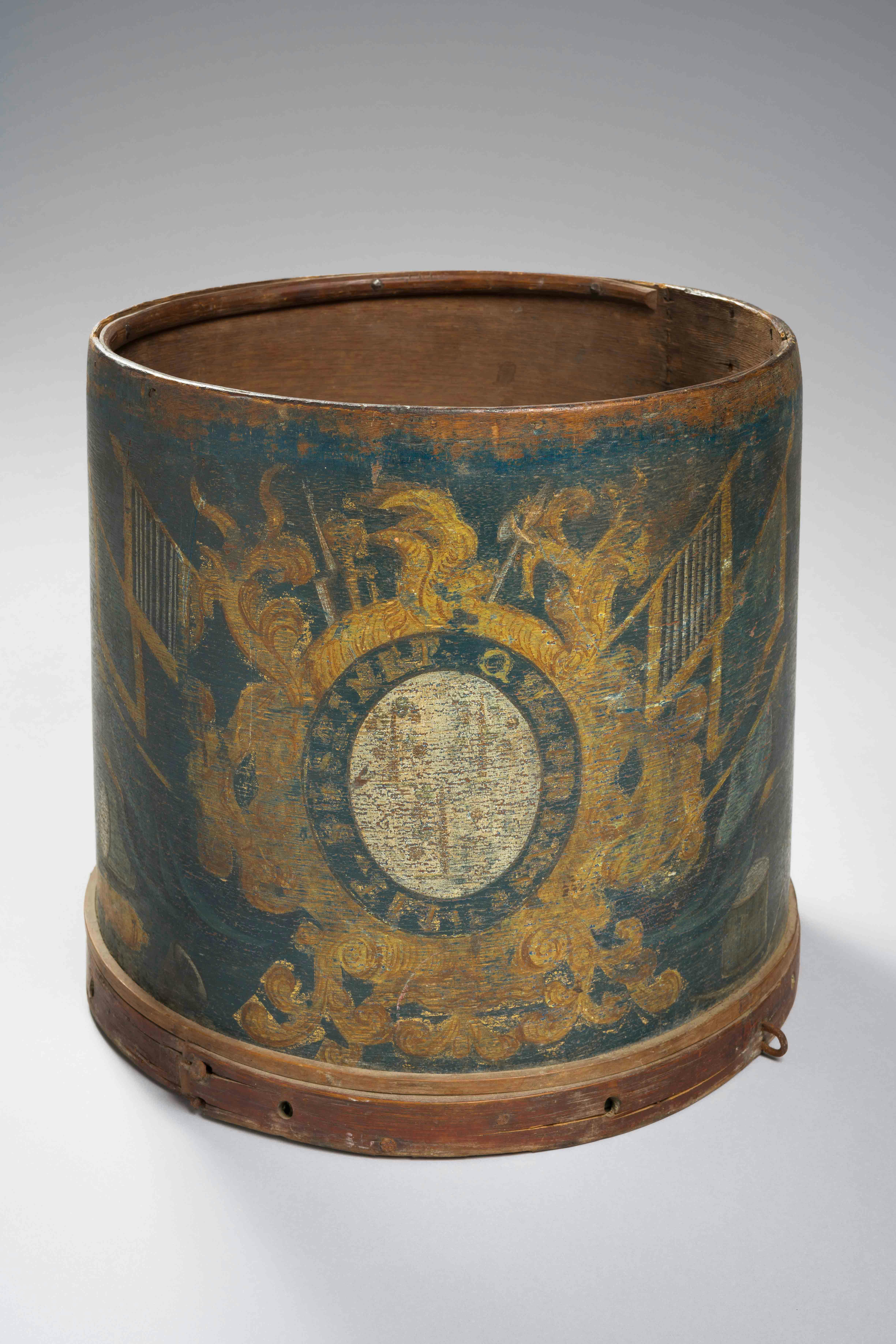
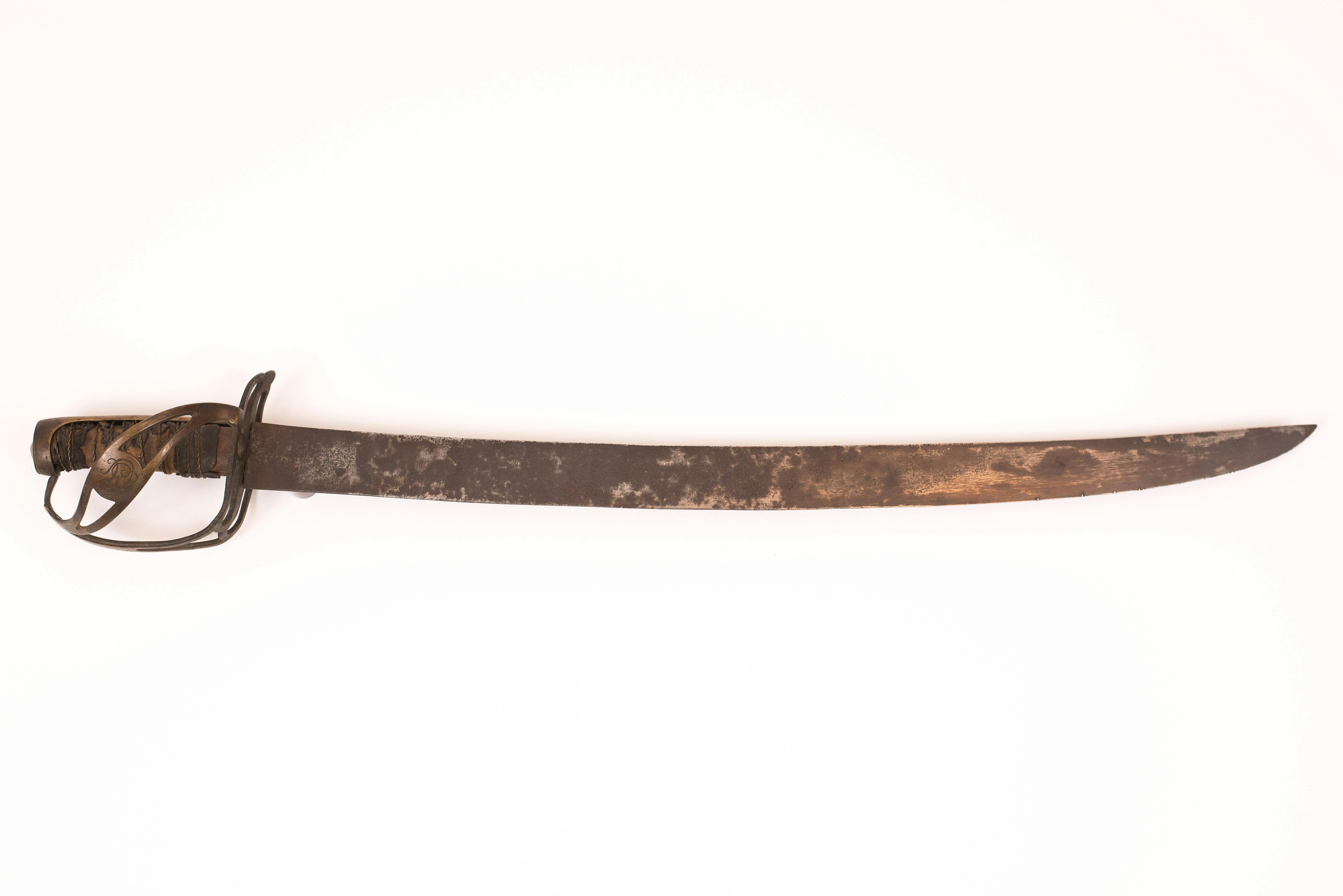
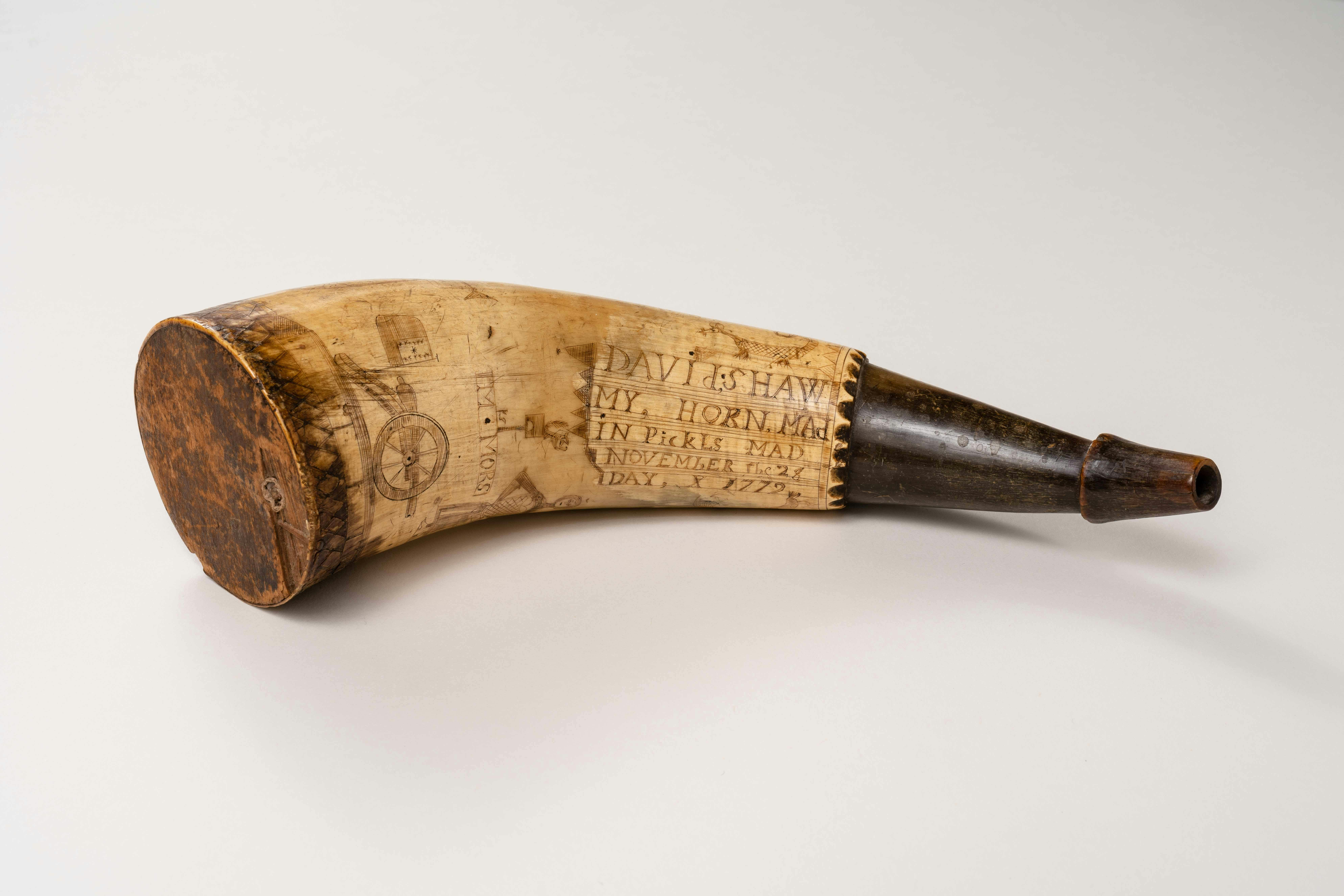
Symbols for a New Nation
The American national, state, and regimental insignia on these objects testify to the importance of symbols for the Continental soldiers in the Hudson Highland camps. Some of these same symbols may have decorated regimental colonnades, visible in L’Enfant’s view of the encampment at Verplanck’s Point.
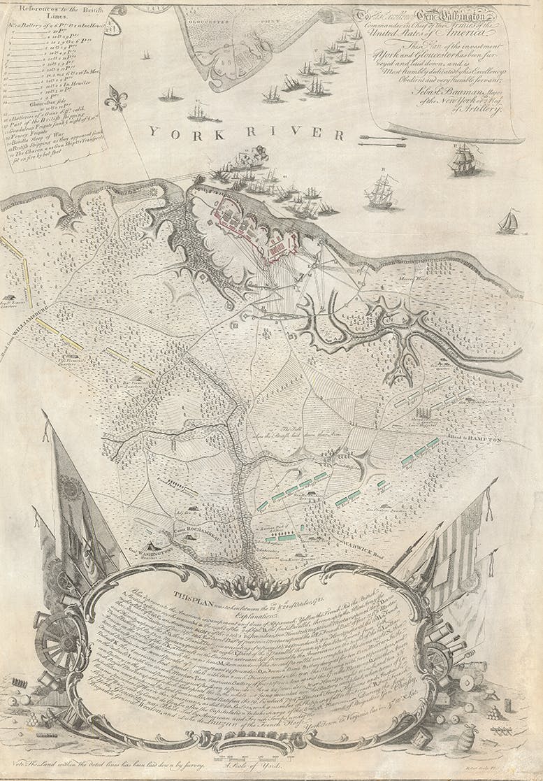
Indeed, what is the history of a country without maps? A history of war without plans?
Major Sebastian Bauman, Continental Artillery, July 1782