Back
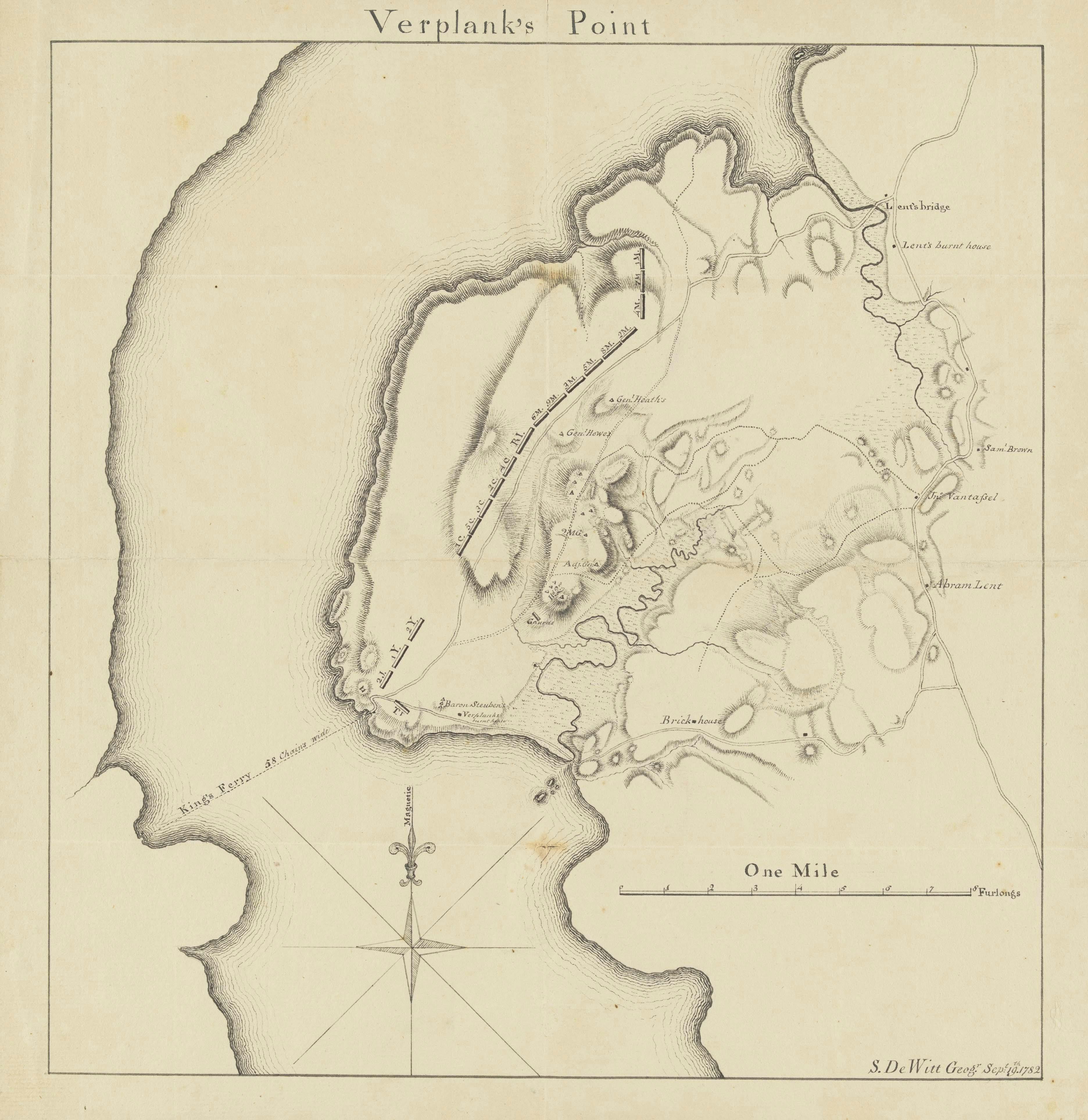
Map of the Verplanck’s Point Encampment
As surveyor general of the Continental Army, Simeon De Witt created this map of the encampment at Verplanck’s Point in 1782. The labeled regiments, indicated by their state abbreviations, helped identify the tents depicted in the Verplanck’s Point watercolor. Washington’s headquarters and the adjutant general’s tent (where L’Enfant stood to paint the panorama) are visible on this map.
Verplank’s Point
Drawn by Simeon De Witt
September 19, 1782
Paper and Ink
Image courtesy of Houghton Library, Harvard University, MS Sparks 158.1 (3) Seq. 9