
West Point
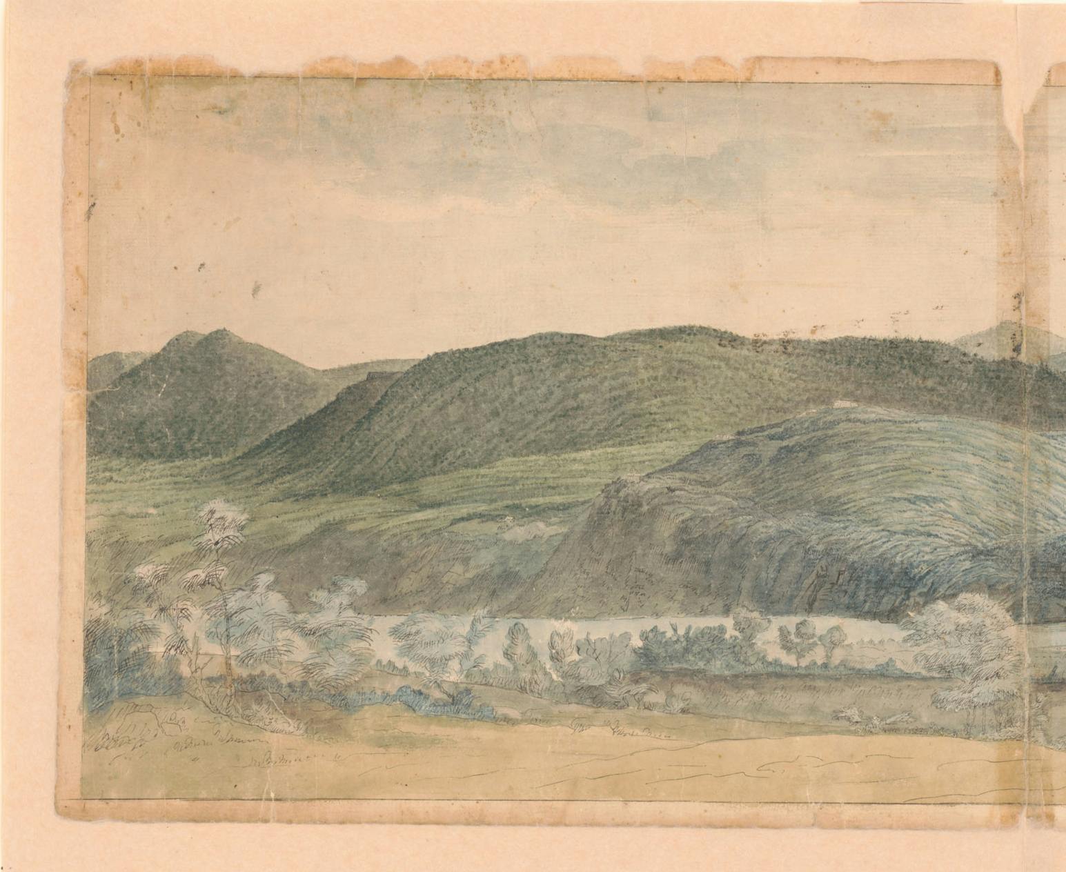
Hudson Highlands
Take a closer look at the outlying defenses on the rocky hills and cliffs south of West Point. Notice the Hudson River in the foreground and the Continental Army’s hilltop fortifications.
Image courtesy of Library of Congress, Prints and Photographs Division, Washington, D.C.
These forts, named for the Connecticut officers who commanded them in 1778, defended the southern approach to Fort Putnam, the largest of West Point’s forts. Shaped like a pentagon, Fort Wyllys’s walls were made of stone and piled dirt. Polish engineer Tadeusz Kosciuszko, who joined the Continental Army in 1776, helped to improve and expand these fortifications.
Take a closer look Learn more about Tadeusz KosciuszkoThe Hudson Highland’s rocky hills and cliffs provided the Continental Army with a secure location for an encampment in 1782. The river provided a waterway for supply and troop movements and the Highlands were close enough to New York City so that Washington could keep an eye on the British Army.
This fortified wooden building appears on Continental Army maps of the West Point garrison. The structure could house 20 men and featured a carronade (a short-barreled cannon) as part of its defenses. Soldiers stationed there could fire muskets out of narrow openings in the blockhouse walls in case of an enemy attack.
Take a closer lookNew York’s largest river flows south from the Adirondack Mountains to New York Harbor. The Continental Army commanded the river for most of the Revolutionary War, which allowed it to move supplies and troops by water between New England and southern New York. In 1775, the army began to fortify the strategic land flanking the sharp, narrow curves in the Hudson River at West Point to control ship traffic.