Back
L’Enfant stood in this vicinity on the east side of the Hudson River.
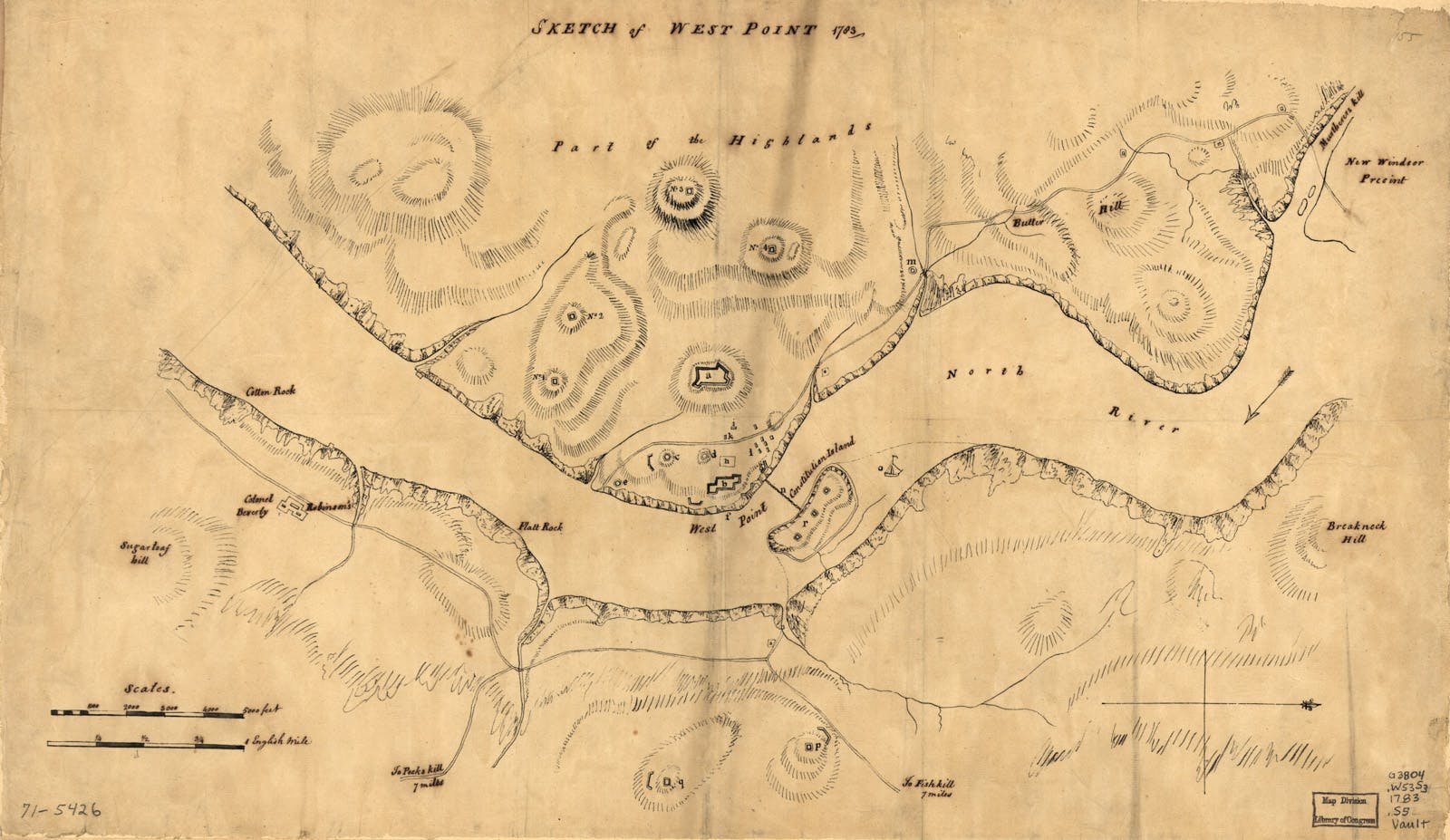
Map of West Point
This map from 1783 shows the American fortifications in place at West Point. The yellow point indicates the location where Pierre Charles L’Enfant stood to paint his panorama of West Point.
Image courtesy of Library of Congress, Geography and Map Division, Washington, D.C.