Back
Battle Map
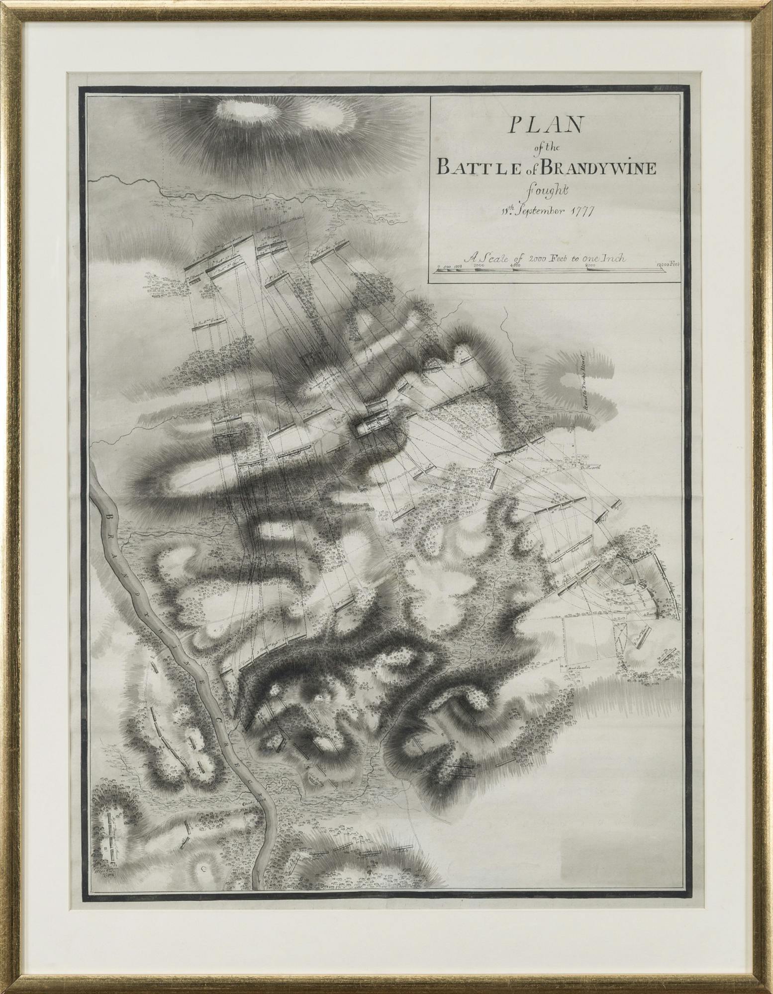
British engineers surveyed the battlefield at Brandywine and created this map soon after the battle. The map shows British and American troop positions and movements. The hard-fought action at Brandywine ended with Washington’s army withdrawing east towards Chester, Pennsylvania. The exhausted British forces, including Richard Mansergh St. George, encamped at Dilworth (visible at the right-center of this map) and neighboring areas until September 15th.
Plan of the Battle of Brandywine
ca. 1777
Paper, Ink
Museum of the American Revolution